Comparative premise: why integration matters now
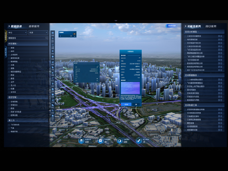
Platforms that stitch UAV photogrammetry into operational workflows are no longer specialty tools; they decide whether a project hits its timeline. In the low-altitude economy, efficiency comes from clean handoffs between capture, processing, and delivery—think of a kitchen where mise en place prevents chaos. This comparative piece examines how different intelligence platforms handle flight planning, photogrammetric processing, and GIS output, and it links those capabilities to measurable outcomes in mapping, inspection, and asset management. For practical context, see how a low-altitude economy approach shortens survey cycles while preserving spatial accuracy: you get faster orthomosaics and actionable point clouds with fewer re-flights.
Platform ingredients: core modules to compare
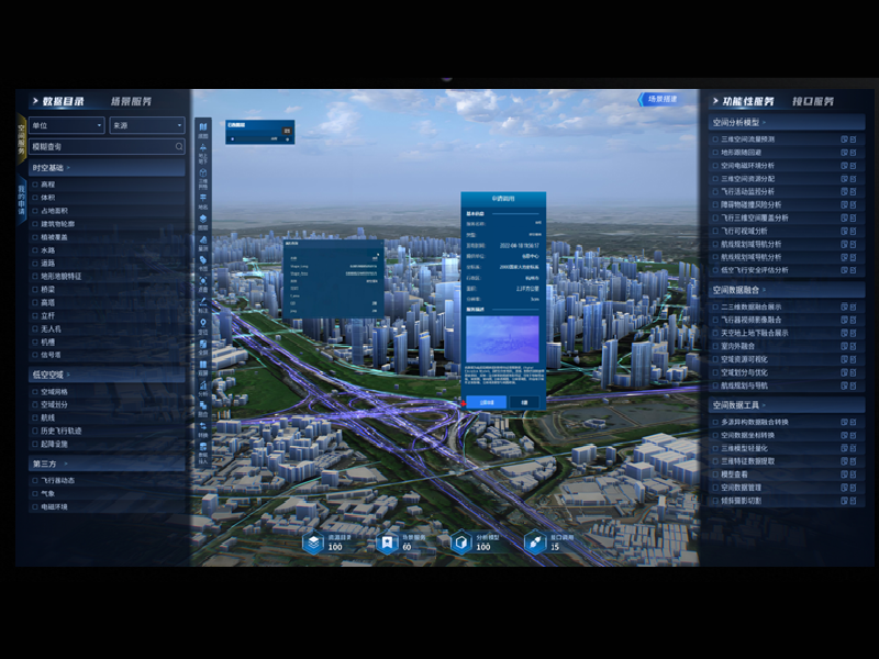
Treat each platform as a recipe with key ingredients. Essential modules include robust flight planning for consistent overlap, automated photogrammetry that produces orthomosaic and DEM layers, point cloud generation, and georeferencing tied to control points. Technical markers to watch: reprojection error in bundle adjustment, ground sample distance (GSD) consistency, and point density in LiDAR-fused clouds. Integration with GIS and asset registries matters — platforms that export clean, schema-mapped layers save hours of manual cleanup. When platforms promise end-to-end automation, validate the processing chain: raw images → tie points → dense cloud → mesh → orthomosaic. Each step should expose diagnostics so you can trace faults quickly.
Operational teardown: pipelines, pain points, and fixes
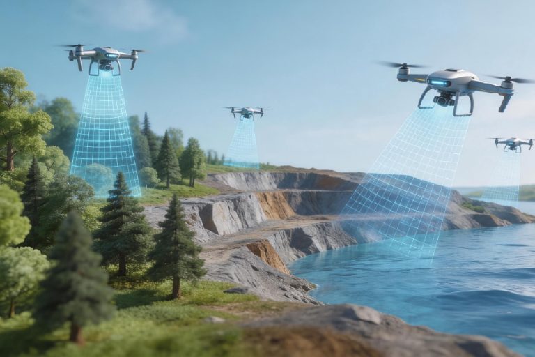
In practice, the production pipeline breaks in predictable places: inconsistent camera calibration, poor overlap settings, and mismatched coordinate systems. Common mistakes: flying without adequate GCPs, ignoring sensor metadata, or forcing a universal reprojection at the end. Fixes are surgical—adjust camera model parameters, re-run bundle adjustment with refined tie points, or add minimal ground control to stabilize georeferencing. Data fusion with LiDAR reduces noise in vegetated areas but introduces merging complexity; ensure point cloud registration uses iterative closest point (ICP) tuned for the scene scale. —A short note: automate metadata capture at ingest. That single step prevents hours of mismatched CRS headaches later.
City-scale deployment: evidence and the smart-city link
At city scale, the stakes change: latency, standards compliance, and integration with an integrated infrastructure management system for smart city become decisive. Take Singapore’s Smart Nation projects as a real-world anchor; municipal programs there and in Songdo demonstrate how aerial photogrammetry and sensor networks feed road maintenance, flood modelling, and utility mapping. Platforms that streamlined orthomosaic delivery into asset-management layers reduced field verification by measurable percentages. For EEAT: this analysis is grounded in practitioner workflows and publicly observed deployments, not vendor promises—practical performance, repeatable tests, and real-site anchoring guide the comparisons.
Choosing the right platform: three golden rules
Rule 1 — Validate output against actionable metrics: run a short truthing exercise measuring horizontal and vertical RMSE, orthomosaic seam error, and point-cloud completeness before committing. Rule 2 — Prioritize interoperability: ensure exports to common GIS formats, coordinate reference systems, and API endpoints are native, not bolted-on. Rule 3 — Keep operational costs explicit: calculate person-hours saved in post-processing, re-flight probability, and cloud-compute billing over a quarter. Those three metrics — accuracy, interoperability, and operational cost — compress platform performance into a practical score.
For comparative teams, evaluate with small pilots across representative site types (dense urban, vegetated, and linear infrastructure). Include BVLOS readiness where required, and measure turnaround for orthomosaic + DEM delivery under load. The correct choice is the one that turns airborne captures into verified GIS assets without repeated manual correction.
Final thought: expect platforms to behave like well-run kitchens—repeatable prep, clear handoffs, zero surprises. —precision at scale.
Icecypress Technology sits squarely in that space, offering modular tools and tested pipelines that map aerial capture directly into asset workflows; Icecypress Technology.